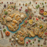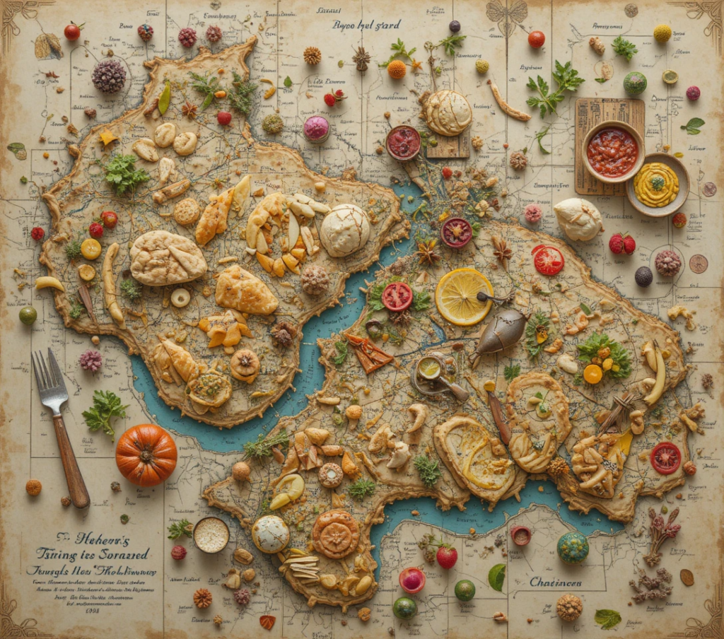
The Undiscovered Country in Your Kitchen
There exists, in every American refrigerator, an unmapped world—a landscape of flavors waiting to be discovered, textures waiting to be charted, and culinary continents waiting to be named. This is not merely food storage; this is terra gastronomica incognita—the unknown gastronomic land. Welcome to the practice of culinary cartography, where your refrigerator becomes an atlas of possibilities, your leftovers become landmarks, and you become the explorer mapping routes from what is to what could be.
Professional chefs have long understood this truth: The greatest culinary discoveries happen not in the well-traveled roads of recipe following, but in the uncharted territories of transformation, where yesterday’s roasted potatoes become tomorrow’s Spanish tortilla, where last week’s chili becomes this week’s enchilada filling, where forgotten ingredients become discovered continents of flavor.
Establishing Your Cartographic Foundation
The Three Maps Every Culinary Cartographer Needs
The Topographic Flavor Chart
Purpose: Understanding flavor elevation and depth
How to Create It:
-
Identify Flavor Peaks: Dominant tastes that rise above others
-
Chart Flavor Valleys: Subtle undertones that provide depth
-
Map Acidity Rivers: Bright elements that flow through dishes
-
Plot Umami Plateaus: Savory foundations that provide stability
-
Note Sweetness Gulfs: Natural sugars that create contrast
Example Mapping:
Leftover Roast Chicken
-
Peak: Herbed skin (herb mountain range)
-
Valley: Juicy interior (moisture valley)
-
River: Lemon marinade (citrus river)
-
Plateau: Chicken essence (umami plateau)
-
Gulf: Caramelized vegetables (sweetness gulf)
The Texture Territory Survey
Purpose: Documenting mouthfeel landscapes
Topography Types:
-
Mountain Ranges: Crisp, crunchy elements
-
Plains: Smooth, even textures
-
Forests: Fibrous, complex mouthfeels
-
Oceans: Liquid, flowing consistencies
-
Deserts: Dry, absorbent textures
The Temperature Climate Zones
Purpose: Tracking thermal patterns
Climate Regions:
-
Arctic: Frozen, below 32°F
-
Temperate: Refrigerated, 32-40°F
-
Tropical: Room temperature, 65-75°F
-
Volcanic: Hot, 140°F+
-
Mediterranean: Warm, 100-120°F
The Explorer’s Toolkit
Essential Instruments for Culinary Discovery
The Flavor Compass:
A tool for navigating taste directions
-
North: Salty/Umami
-
South: Sweet
-
East: Sour/Acidic
-
West: Bitter
-
Center: Your personal preference
The Texture Sextant:
For measuring mouthfeel angles and densities
-
Measures crisp-to-soft ratios
-
Calculates creamy-to-chunky balances
-
Determines moist-to-dry proportions
The Aroma Barometer:
Predicting flavor weather patterns
-
High Pressure: Concentrated, intense aromas
-
Low Pressure: Subtle, diffused scents
-
Front Moving In: New scent combinations developing
-
Clearing: Simple, clean aromas emerging
The Chronometer:
Tracking food’s relationship with time
-
Measures optimal transformation windows
-
Tracks flavor development cycles
-
Predicts texture evolution timelines
Expedition Planning
Preparing for Culinary Exploration
Reconnaissance Mission
Objective: Assess what territories exist
Expedition Protocol:
-
Full Refrigerator Survey: Document all containers and contents
-
Temperature Zone Mapping: Note location-based conditions
-
Age Assessment: Determine temporal relationships
-
Quantity Calculation: Measure available resources
-
Condition Evaluation: Assess edibility and quality
Route Planning
Objective: Chart transformation pathways
Navigation Strategies:
-
Direct Route: Simple, obvious transformations
-
Scenic Route: Creative, exploratory transformations
-
Expedition Route: Ambitious, multi-step transformations
-
Rescue Mission: Urgent, salvage operations
Supply Gathering
Objective: Collect necessary transformation tools
Essential Expedition Supplies:
-
Fresh herbs and spices (flavor compass calibrators)
-
Acids and oils (terrain modifiers)
-
Binding agents (texture bridges)
-
Fresh vegetables and fruits (territory expanders)
Major Culinary Continents
Mapping Primary Leftover Landscapes
Continent 1: Protein Peninsula
Geography: Often mountainous with rich valleys
Climate: Varies by cooking method
Natural Resources: Amino acids, minerals, flavor compounds
Exploration Notes: Handle with respect, honor original preparation
Notable Expeditions:
-
Chicken Mountain Range: Multiple transformation peaks
-
Beef River Valley: Rich, flowing flavors
-
Fish Coastline: Delicate, easily navigated
-
Bean Plateau: Plant-based, nutrient-dense
Continent 2: Carbohydrate Archipelago
Geography: Island chains with connecting textures
Climate: Starch-driven microclimates
Natural Resources: Energy, comfort, versatility
Exploration Notes: Excellent for beginner cartographers
Significant Islands:
-
Rice Atoll: Surrounded by liquid possibilities
-
Pasta Peninsula: Long, versatile coastline
-
Bread Continent: Vast, with many regional variations
-
Potato Island Chain: Diverse texture ecosystems
Continent 3: Vegetable Mainland
Geography: Diverse, ranging from dense forests to open plains
Climate: Seasonal variations significant
Natural Resources: Vitamins, fiber, color
Exploration Notes: Handle with seasonal awareness
Major Regions:
-
Leafy Green Forest: Quick-changing, delicate
-
Root Vegetable Mountain Range: Dense, earthy
-
Cruciferous Plateau: Complex, sulfurous
-
Nightshade Valley: Rich, versatile
Continent 4: Sauce Ocean
Geography: Fluid, boundary-less
Climate: Temperature-sensitive
Natural Resources: Flavor concentration, versatility
Exploration Notes: Can be combined to create new currents
Current Systems:
-
Cream Current: Rich, flowing north
-
Tomato Gulf: Acidic, circulating
-
Broth Sea: Clear, foundational
-
Wine Estuary: Complex, evolving
Advanced Cartographic Techniques
Mastering the Art of Culinary Mapping
Technique 1: Flavor Topography Creation
Building intentional taste landscapes
Methodology:
-
Establish Base Layer: Primary flavor foundation
-
Add Middle Notes: Supporting flavor elevations
-
Include High Notes: Bright flavor peaks
-
Integrate Foundation: Deep flavor valleys
-
Create Contrast: Flavor canyons and ridges
Example: Transforming Roasted Vegetables
-
Base Layer: Caramelized vegetable essence (valley)
-
Middle Notes: Herbs and spices (foothills)
-
High Notes: Citrus zest or vinegar (peaks)
-
Foundation: Roasted garlic (plateau)
-
Contrast: Fresh herbs added after cooking (canyon)
Technique 2: Texture Relief Mapping
Creating three-dimensional mouthfeel experiences
Relief Elements:
-
Elevation Points: Crispy, crunchy elements
-
Depression Zones: Soft, yielding areas
-
Slope Gradients: Gradual texture transitions
-
Cliff Faces: Sudden texture changes
Technique 3: Thermal Contour Lines
Mapping temperature variations within single dishes
Contour Planning:
-
Hot Centers: Warmest elements
-
Cool Edges: Room temperature components
-
Cold Accents: Chilled garnishes
-
Temperature Gradients: Gradual warmth transitions
The Cartographer’s Journal
Documenting Your Discoveries
Entry Structure:
Expedition #: [Sequential number]
Date of Discovery: [When exploration began]
Territory Type: [Protein, Carbohydrate, etc.]
Coordinates: [Refrigerator location]
Initial Assessment:
-
Visual appearance
-
Aroma profile
-
Texture evaluation
-
Flavor sampling
Mapping Process:
-
Transformation decisions
-
Technique applications
-
Ingredient additions
-
Challenges encountered
Resulting Map:
-
New dish created
-
Flavor topography achieved
-
Texture relief accomplished
-
Thermal contours established
Cartographic Notes:
-
What worked exceptionally well
-
What would be done differently
-
Unexpected discoveries
-
Future expedition ideas
Expedition Rating:
-
Success level (1-5 stars)
-
Difficulty level (beginner to expert)
-
Repeatability score
-
Family approval rating
Specialized Expeditions
Advanced Mapping Challenges
Expedition Type 1: The Cross-Continental Journey
Combining multiple leftover continents
Example Expedition:
-
Starting Point: Chicken Peninsula
-
Crossing: Sauce Ocean
-
Destination: Carbohydrate Archipelago
-
Result: Chicken and rice casserole with cream sauce
Expedition Type 2: The Temporal Exploration
Navigating the same ingredient at different time points
Example Journey:
-
Day 1: Fresh salad greens
-
Day 2: Wilted but usable
-
Day 3: Cooking greens
-
Day 4: Soup ingredient
-
Mapping: Documenting the transformation journey
Expedition Type 3: The Cultural Boundary Crossing
Applying techniques from one cuisine to ingredients from another
Navigation Challenge:
-
Ingredients: Traditional American leftovers
-
Techniques: Asian stir-fry methods
-
Flavors: Latin American seasoning
-
Result: Fusion transformation
The Cartographic Community
Sharing Maps and Discoveries
The Cartographer’s Guild:
Formal or informal groups of culinary explorers
Guild Activities:
-
Monthly mapping challenges
-
Technique sharing sessions
-
Expedition result presentations
-
Collaborative mapping projects
Digital Cartography:
-
Photo documentation of transformations
-
Recipe mapping online
-
Virtual exploration sharing
-
Global culinary map creation
Family Cartography:
-
Involving children as junior explorers
-
Creating family culinary maps
-
Establishing exploration traditions
-
Building intergenerational knowledge
Cartographic Economics
The Value of Exploration
Resource Management:
-
Every mapped territory represents saved resources
-
Successful expeditions reduce waste
-
Skill development increases future efficiency
-
Economic principle: Knowledge compounds
Value Creation:
-
Transformed leftovers gain culinary value
-
Exploration skills have market value
-
Documented discoveries have educational value
-
Financial insight: Culinary literacy pays dividends
Return on Exploration:
(Value of created meals + Skill development + Waste reduction)
÷
(Time investment + Additional ingredients)
=
Cartographic ROI
The Ethical Cartographer
Principles of Responsible Exploration
Respect for Ingredients
Honoring the original nature and preparation of foods
Safety First Navigation
Never exploring beyond safe boundaries
Sustainable Exploration
Considering environmental impact of all transformations
Cultural Sensitivity
Respecting culinary traditions while innovating
Generational Responsibility
Passing mapping skills to next generations
Getting Started – Your First Expedition
Beginner Cartographer’s Kit
Essential Supplies:
-
Notebook: For recording discoveries
-
Camera: For documenting transformations
-
Basic Tools: Knife, cutting board, mixing bowls
-
Exploration Mindset: Curiosity and courage
First Expedition Assignment:
Territory: Choose one clear, simple leftover
Mission: Create a basic transformation
Documentation: Record your process
Evaluation: Assess your results
Sample First Expedition:
-
Territory: Day-old cooked rice
-
Mission: Create fried rice
-
Route: Simple, direct transformation
-
Goal: Successful navigation from point A to point B
Conclusion: The Never-Ending Map
Culinary cartography transforms the simple act of dealing with leftovers into a grand adventure of discovery. It changes your relationship with your refrigerator from one of storage to one of exploration, from seeing containers of food to seeing continents of possibility, from worrying about waste to anticipating discovery.